The Saluda River: Beauty, Safety, and the Water You Float On
There's a moment, right after you slip off that launch point below the Saluda Dam and let the current carry you, when the noise of everyday life just fades. The canopy closes in above you. A great blue heron lifts off from a mossy bank. Turtles stack themselves on a sun-warmed log like they've got nowhere to be — because they don't. And neither do you.
That's the Saluda River. And at Saluda Outdoor River Company, we've staked our whole operation on it.
We get asked a lot — "Is the river clean? Is it safe?" — and we love that question, because it means people care. So let's talk about it honestly, with real data and the enthusiasm of people who spend every season on this water.
Where the Saluda Comes From
The Saluda doesn't just start anywhere. Its headwaters originate high in the Blue Ridge Mountains at the North Carolina–South Carolina state line — waters so clean they carry an Outstanding Natural Resource Waters designation from the state. That's as good as it gets.
Those mountain tributaries — the North, Middle, and South Saluda Rivers — flow down through the foothills and Piedmont before pooling in Saluda Lake, the 331-acre reservoir created in 1905 when the old river was dammed just five miles west of downtown Greenville. From there, the river pours out below the Saluda Dam and begins its next chapter — which happens to be our chapter.
The North and South Saluda Rivers are so pristine that they supply drinking water to over half a million people in greater Greenville. Saluda Lake itself supplies drinking water to over 80,000 customers in the Easley area. This isn't a river that's been forgotten — it's one of the most closely watched, monitored, and cared-for waterways in Upstate South Carolina.
What the Science Says: Water Quality & Monitoring
Greenville Water's Rigorous Testing
Greenville Water — the state's largest water utility — draws from the North Saluda and Table Rock Reservoirs and conducts some of the most thorough water quality testing in the country. In 2024 alone, Greenville Water and the SC Department of Environmental Services (SCDES) collected 25,422 samples and performed 97,179 tests. Their annual Water Quality Report confirms they meet and exceed every federal and state drinking water standard set by the EPA.
Even more reassuring: Greenville Water has tested for PFAS compounds (the "forever chemicals") at the North Saluda Reservoirs repeatedly since 2019 — and none have been detected. Zero. The mountain origin of this water, combined with protected watersheds Greenville Water owns outright, creates a natural buffer that most rivers simply don't have.
USGS Monitoring Station on the Saluda
The U.S. Geological Survey (USGS) operates monitoring station 02162500 — "Saluda River Near Greenville, SC" — in cooperation with the South Carolina Department of Environmental Services. This station provides continuous real-time data on stream flow and water levels. You can access this data at waterdata.usgs.gov/monitoring-location/USGS-02162500/
What USGS Research Has Found
A landmark USGS study examining fecal-indicator bacteria across major South Carolina river basins found that large, multi-land-use river systems like the Saluda River had the lowest concentrations of fecal-indicator bacteria compared to agricultural or smaller mixed-use basins. The river's size, flow, and the forested character of its upper watershed all help naturally dilute and reduce bacterial loads.
Save Our Saluda & Watershed Stewardship
A passionate local nonprofit, Save Our Saluda, works year-round with 23 partnering organizations to protect and restore the Upper Saluda Watershed. Funded in part by federal 319 grants through SCDHEC, their work includes stream bank restoration, cover crops, floodplain restoration, and drainage improvements — all aimed at reducing sediment and keeping the river's water quality moving in the right direction.
The biggest ongoing challenge on the Saluda? Sediment — not chemical pollution. Heavy rains can stir up river bottom sediment that increases turbidity. It's a natural phenomenon, and it's why we always monitor conditions before launch days and follow water quality guidance from state agencies.
Transparency About After-Rain Conditions
We believe in straight talk. After significant rainfall events, bacteria levels in any river can spike due to stormwater runoff. SC's Department of Health and Environmental Control (DHEC) tests rivers for enterococcus bacteria weekly from May through October, posting results publicly. No-swim advisories are issued when levels are elevated and lifted when conditions return to normal.
At SORC, we stay in close contact with current river data. If conditions are not ideal for a safe, enjoyable float, we will communicate with guests proactively. Your safety and confidence in the river experience is our responsibility, and we take it seriously.
The Living River: Wildlife That Calls This Water Home
A river's health isn't just measured in a laboratory — it's written in the living things that thrive in and around it. The Upper Saluda Watershed is home to one third of all freshwater fish species found in South Carolina. On our section of the float, you'll likely encounter:
- Largemouth bass, catfish, bream, and trout swimming below your tube
- Painted turtles sunning themselves on every promising log
- Great blue herons standing statuesque at the water's edge
- Ospreys and bald eagles overhead — yes, bald eagles on the Saluda
- Beavers making their evening rounds
- Kingfishers, wood ducks, and songbirds stitching the air above the river corridor
This isn't a river that's just surviving. It's thriving — and the wildlife shows it.
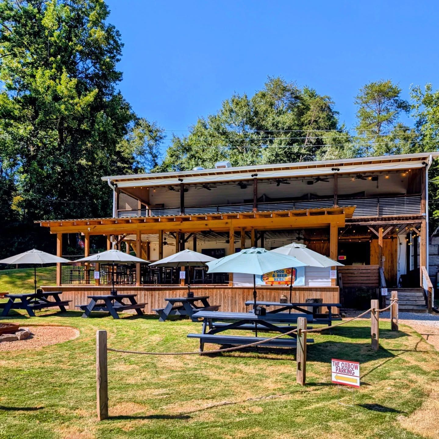
Our Section: Below the Saluda Dam to Old Easley Highway
Our stretch of river begins right below the Saluda Lake Dam and flows downstream to our takeout near 1307 Old Easley Highway in Easley — a journey of approximately 2 to 3.5 hours depending on water speed.
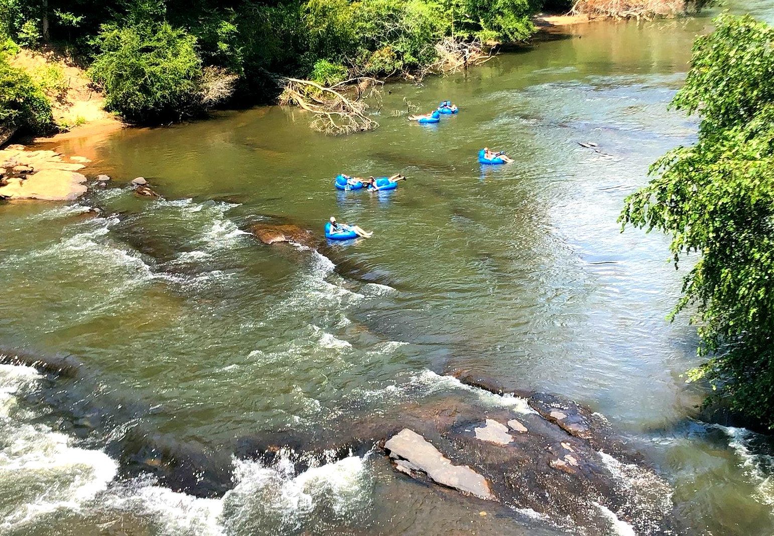
The drop-in point, just below the historic dam, is one of the more exciting moments of the float — the river is wide, clear, and immediately alive. The current is well-defined, the scenery is dense with hardwood forest and rocky shoreline, and the water temperature in summer typically hovers in the comfortable 70s.
The float alternates between long, glassy stretches where you can close your eyes and listen to the birds, and small, bouncy rapids that'll keep the kids (and the dogs) entertained. The depth ranges from just a few feet in the shallows to over 30 feet in deeper pools — which is why we require life jackets on every single float, no exceptions.
Safety: What We Do, Every Day
At Saluda Outdoor River Company, safety isn't a checkbox — it's a culture.
- Life jackets are required for every floater. All life jackets are Coast Guard-approved and provided with your ticket.
- Children must be at least 42 inches tall to participate.
- Staff conduct a full safety briefing before every group hits the water.
- Shuttle service means you don't have to worry about a car at the takeout point.
- We monitor USGS stream gauge data and local weather forecasts before each float day.
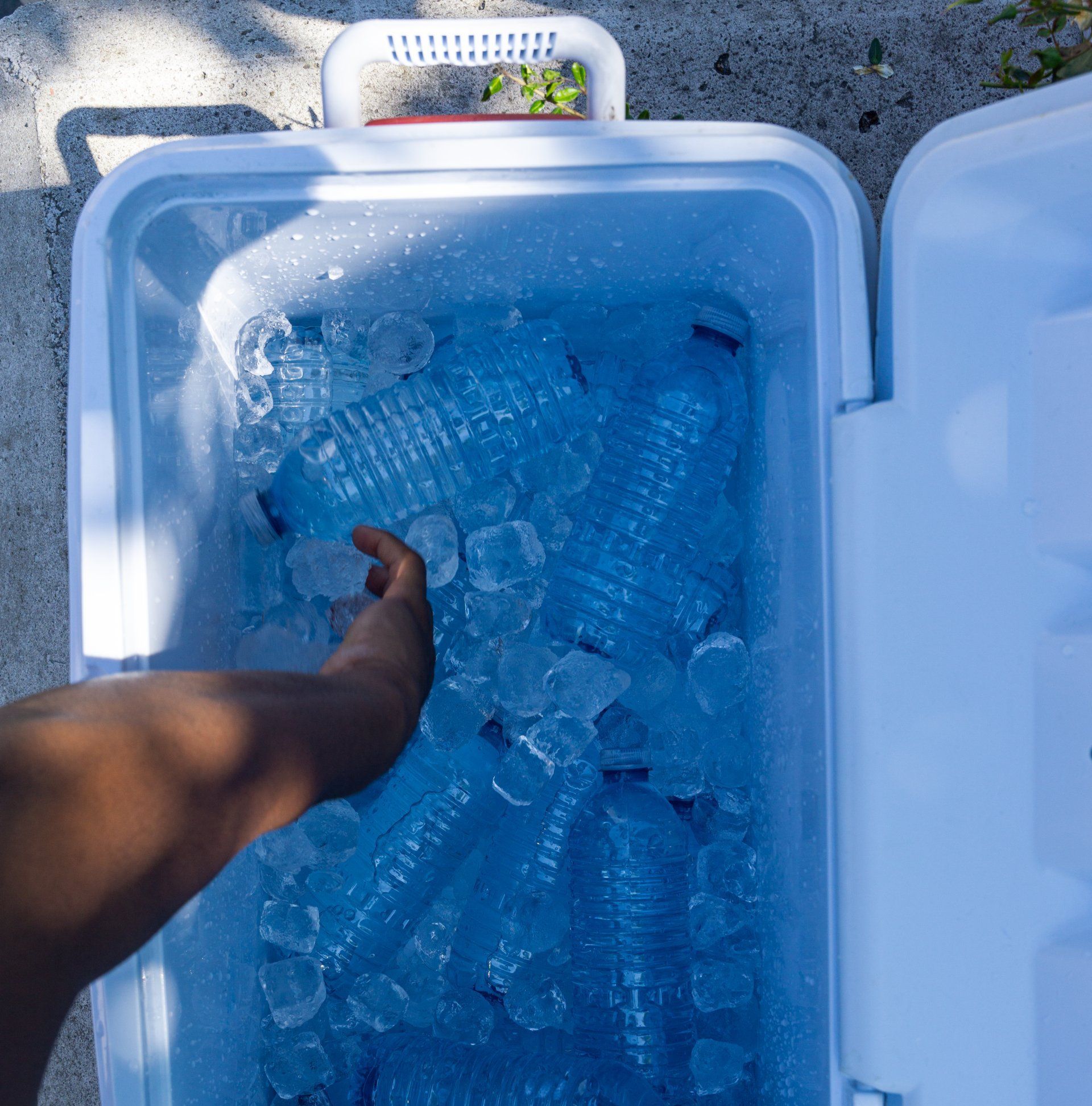
- No glass, no liquor on the river — keeping the environment and everyone's bare feet safe.
Good Practices for Every Floater
- Don't swallow river water — this is true on any natural waterway.
- Wash hands before eating snacks during or after the float.
- Cover any open cuts or wounds before entering the water.
- After heavy rain, check in with us — we'll let you know if conditions have changed.
- Wear shoes that strap to your feet to protect against rocky river bottoms.
- Stay hydrated — you'll be surprised how much sun you get on the water.
A River Worth Protecting
We don't just operate on the Saluda — we're neighbors to it, stewards of it, and honestly, a little obsessed with it. We pick up trash. We follow Leave No Trace principles. We encourage guests to do the same.
To support river stewardship, visit saveoursaluda.org and check real-time water data at the USGS Saluda River monitoring station: waterdata.usgs.gov/monitoring-location/USGS-02162500/
The Saluda has been sustaining life — human and wild — in the Upstate for thousands of years. With the right care, it'll be doing it for thousands more.
Ready to Float? Book at saludaoutdoorrivercompany.com
1001 Old Easley Highway, Greenville, SC | Just 10 minutes from downtown
Life's better on the river.
Data sources: Greenville Water 2024 Water Quality Report; USGS Station 02162500; USGS Fact Sheet FS-085-98; Save Our Saluda Watershed-Based Plans; SC DNR Scenic Rivers Program; SC DHEC Water Quality Monitoring Program.